Forest Fire Risk Management
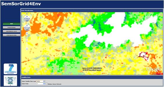
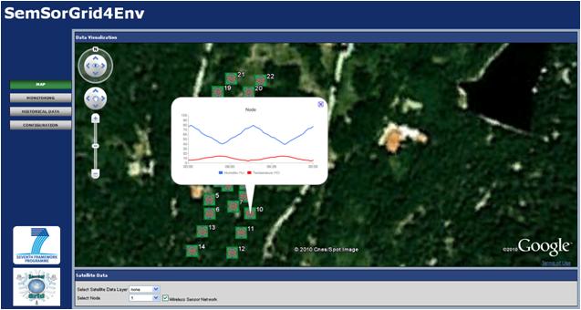
The Fire use case application combines real on-site data acquired from the Wireless Sensor Network (temperature and humidity) with information obtained from Earth Observation Satellites (normalised difference vegetation index and fire risk index).
-
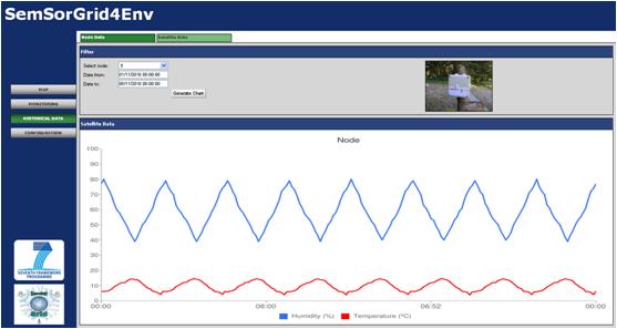
Get earth observation products information, both as geo-referenced images and raw data and current as well as historical information.
-
Configure each node alarm threshold
-
Check alarms
-
Check sensor network node status (battery, radio link...)
It's worth mentioning that in-network processing specially developed within the project, allows to configure each node and to disseminate a different image to each node.
Technology
From a technological point of view:
-
The wireless sensor network has been built with TelosB nodes and with TinyOs 1.4, whose source code has been modified within the project.
-
Earth Observation products are based on historical data obtained from MODIS corresponding to the last 10 years.
Scenario and end users
The application is oriented to fire emergency coordinators, fire prevention rangers and, in general, any professional in the fire management field.
The technological and end-user requirements were at a first stage, properly mixed. Later on, several end-users have been engaged to keep track of the evolution of the application. In this way a continuous interaction between the application and the final users is guaranteed, while feedback between both parts provides a common enrichment.
Roadmap
In the near future, the fire use case application will be improved in order to:Combine the existing information with wind measurements obtained from local observatories. This data turns out to be crucial for fire prevention and which cannot be directly plugged to the nodes.
-
Compare the earth-observed (satellite) and on-land (sensor network) fire risk indexes.
-
Include topographical data.
-
Incorporate measurements depending on height of acquisition.
-
Include hot spots layer, to aggregate all the fire risk indexes information
For further information, please contact This e-mail address is being protected from spambots. You need JavaScript enabled to view it
 |
SemSorGrid4Env - Semantic Sensor Grids for Rapid Application Development for Environmental Management SemSorGrid4Env is a joint project of seven European partners co-funded by the European Commission's Seventh Framework Programme under DG INFSO H.4 "ICT for Sustainable Growth", starting in September 2008 with a duration of three years. |
 |